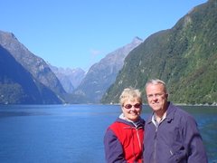
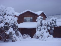
She loves her soccer clothes.
Tuesday evening we went to Mandi and Paul's apartment in the Lowry subdivision in Denver. This area, formerly an AF base, is really nice. Their apt. bldg., though new, is built to look like the former officers' quarters. They're right across the street from the village shopping center -- nice shops and restaurants. Had dinner and spent the night.
Left Denver around noon on Wednesday and drove to Laramie for the night. Got treated to a colorful Wyoming sunset.
By the time I took this picture we were past the snow fences.
Next morning we angled across NE UT on I-84. Now, here's a nice scene at the first rest stop.
A little further down the road we stopped to see the Devil's Slide:
We spent the night near Twin Falls, ID, which is situated on the Snake River. River rafting on the Snake River was an activity I once thought I wanted to do, so I decided it's probably now or never. There seemed to be only two outfitters in the area: one never returned phone calls; the other was booked, so I didn't make it, yet.
We did some sightseeing. Here's the Perrine Bridge across the river, and a shot from the bridge of the river valley. It was somewhere near here that Evel Knievel, in 1974, tried to rocket across the canyon, but didn't make it.
We also drove to the nearby Shoshone Falls - the Niagara of the West - actually 36 ft. higher than Niagara.
A sign at the park entrance said the flow level was Low now -- perhaps why one outfitter didn't seem to be operating now. You can see full-flow pictures at the above website.
Next morning we headed for Boise, where we're going to stay three nights. Along the way, happened to see a sign for a state park and an Oregon Trail Interpretive Center, so we stopped to take a look. This site is near Glenns Ferry, where a ferry once operated to transport people and goods across the river.
Before the ferry, though, settlers heading for Oregon could cross the Snake River here, from the south bank to the north, with their wagons, by following a stepping-stone path via the three islands. Indian guides would show them the route. By crossing here they had a better route -- better grass and water for their livestock -- to Fort Boise, but they faced the risk of losing wagons and supplies in the river. Here's view of the crossing location from a Three Island Crossing website:
And here are a couple of my pictures of the area.
I'm guessing that's a remnant of the Oregon Trail down to the river bank.
In the middle of this picture is the tip of one of the islands.
Got to Boise in early afternoon. We'll be here three days. Susie has a Las Vegas HS classmate here and we'll visit her and go up to her cabin in the mountains north of here and I'll take a float trip in that area. Next report.
Cheers,
Susie and Rob


No comments:
Post a Comment